Preserving biodiversity by mapping habitats and conservation efforts with Mapify
December 19, 2023
Ana Guerra

Biodiversity conservation is a critical aspect of environmental sustainability, as it ensures the protection of ecosystems and the myriad of species that depend on them. In this blog post, we delve into how Mapify's advanced location intelligence tools can play a pivotal role in mapping habitats, monitoring biodiversity, and driving conservation efforts. We wish to empower organizations to make informed decisions and take proactive steps to protect the planet's rich biodiversity.
Mapping biodiversity
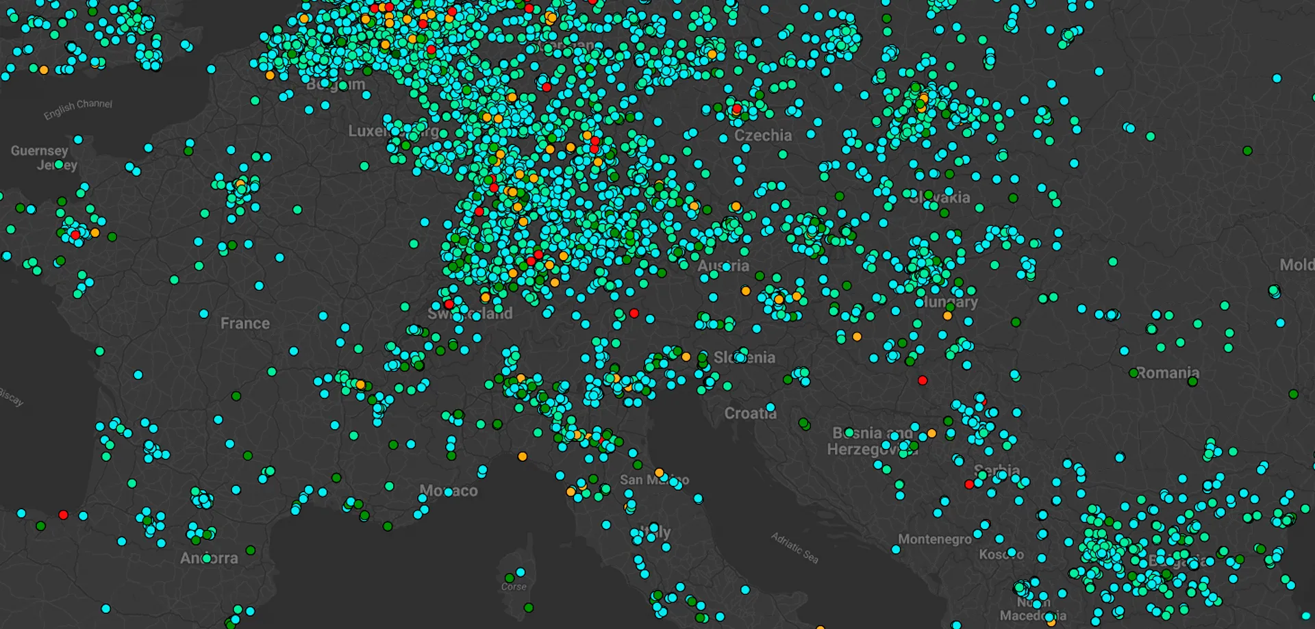
Mapify's capabilities enable the precise real-time mapping of biodiversity hotspots around the globe. By overlaying various data layers, researchers and conservationists can identify regions with exceptional species richness. This information becomes invaluable in prioritizing conservation efforts and protecting these unique ecosystems from potential threats.
Habitat distribution analysis
Understanding the distribution of habitats is crucial for preserving the delicate balance of ecosystems. Mapify can facilitate the analysis of habitat distribution patterns, helping conservationists identify crucial corridors and connections among habitats. This information helps in designing wildlife corridors and protected areas, promoting healthy populations.
Monitoring endangered species
Mapify is able to monitor endangered species and their habitats. By tracking wildlife movements, behavior, and population dynamics, conservationists can respond quickly to emerging threats and design appropriate conservation strategies to safeguard these species.
Conservation planning for climate resilience
Climate change is one of the biggest challenges to biodiversity. This requires conservation planning. With Mapify, organizations can incorporate climate data such as sea level rise projections and temperature patterns to design climate-resilient protected areas. This forward-thinking approach ensures that conservation efforts remain effective in the face of future environmental conditions.
Community engagement initiatives
Mapify's interactive mapping tools offer a unique opportunity for community engagement. Involving local communities and citizen scientists in data collection and mapping not only fosters a sense of ownership and responsibility for biodiversity conservation, but also accelerates the data collection process and expands the scope of conservation initiatives.
Possible impactful applications of Mapify in biodiversity conservation:
- Tracking the movements of koalas in Australia. This information could be used to identify areas where koalas are most likely to be hit by cars, so that roads can be modified or wildlife crossings can be installed.
- Monitoring the health of coral reefs around the world. This information could be used to identify areas that at risk from climate change and other threats.
- Tracking the deforestation in the Amazon rainforest. This information could be used to develop strategies to protect the rainforest and its full biodiversity.
- Monitoring the populations of monarch butterflies. This information could be used to identify areas where monarch butterflies are most likely to lay their eggs, so that these areas can be protected.
Ready to join the global mission to save our planet? 🌍 Join Mapify’s trial now, map your data, and uncover instant insights fast.

.jpg)

.webp)