JUNITEC builds a Real-Time Location App with Mapify
June 3, 2025
Nuri Shahzad
.jpg)
Tomorrow’s most impactful solutions will be built by those who know how to work with data, not just read it. At Mapify, we’re focused on equipping the next generation with the skills to work with real-time location intelligence in ways that are practical, creative, and grounded in real-world challenges.
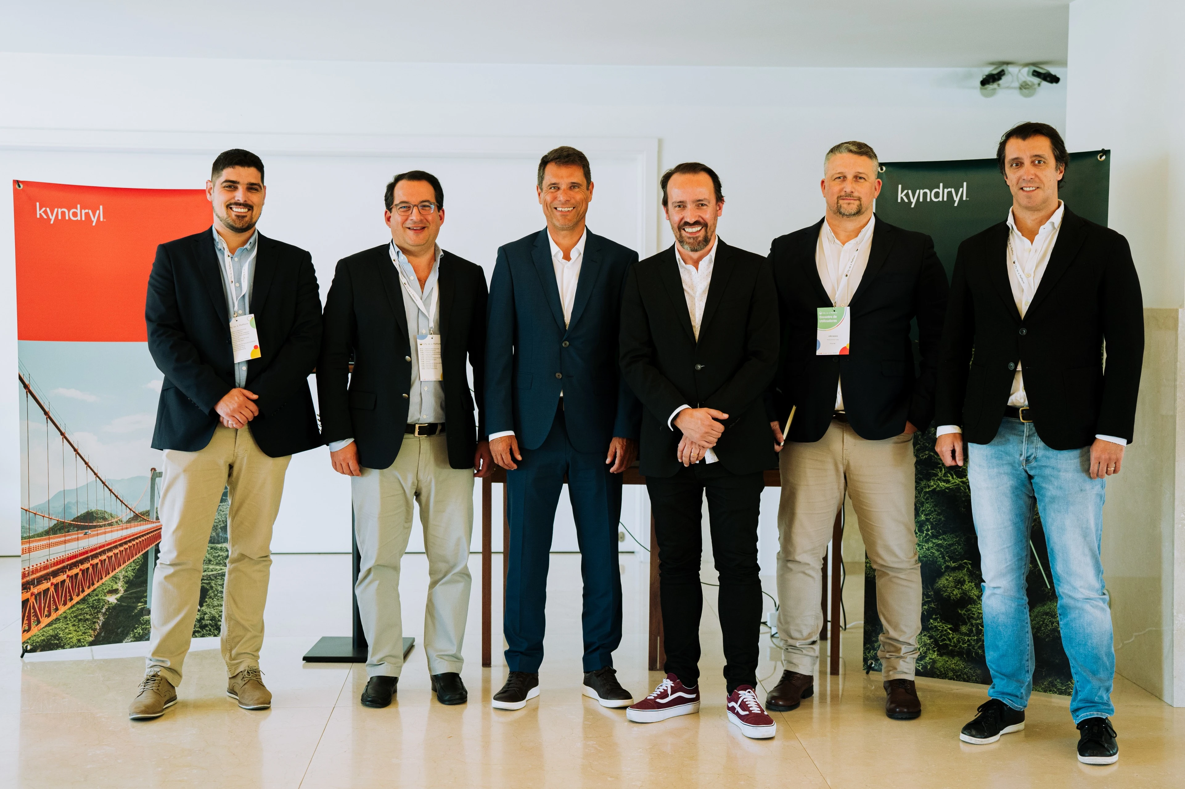
As part of that vision, we recently hosted a workshop for JUNITEC, the junior enterprise from Instituto Superior Técnico. This event marked a key milestone in our nearly year-long partnership, giving students hands-on experience in building real-time geospatial applications using Mapify.

Helsinki Open Data Mapify Workshop
Held at the Focus BC office, the session was led by Mário Sobral, Mapify’s Technical Manager. The workshop started with an overview of Mapify’s platform, showing how organizations use it to manage and visualize real-time data across sectors like urban mobility, public infrastructure, and logistics.
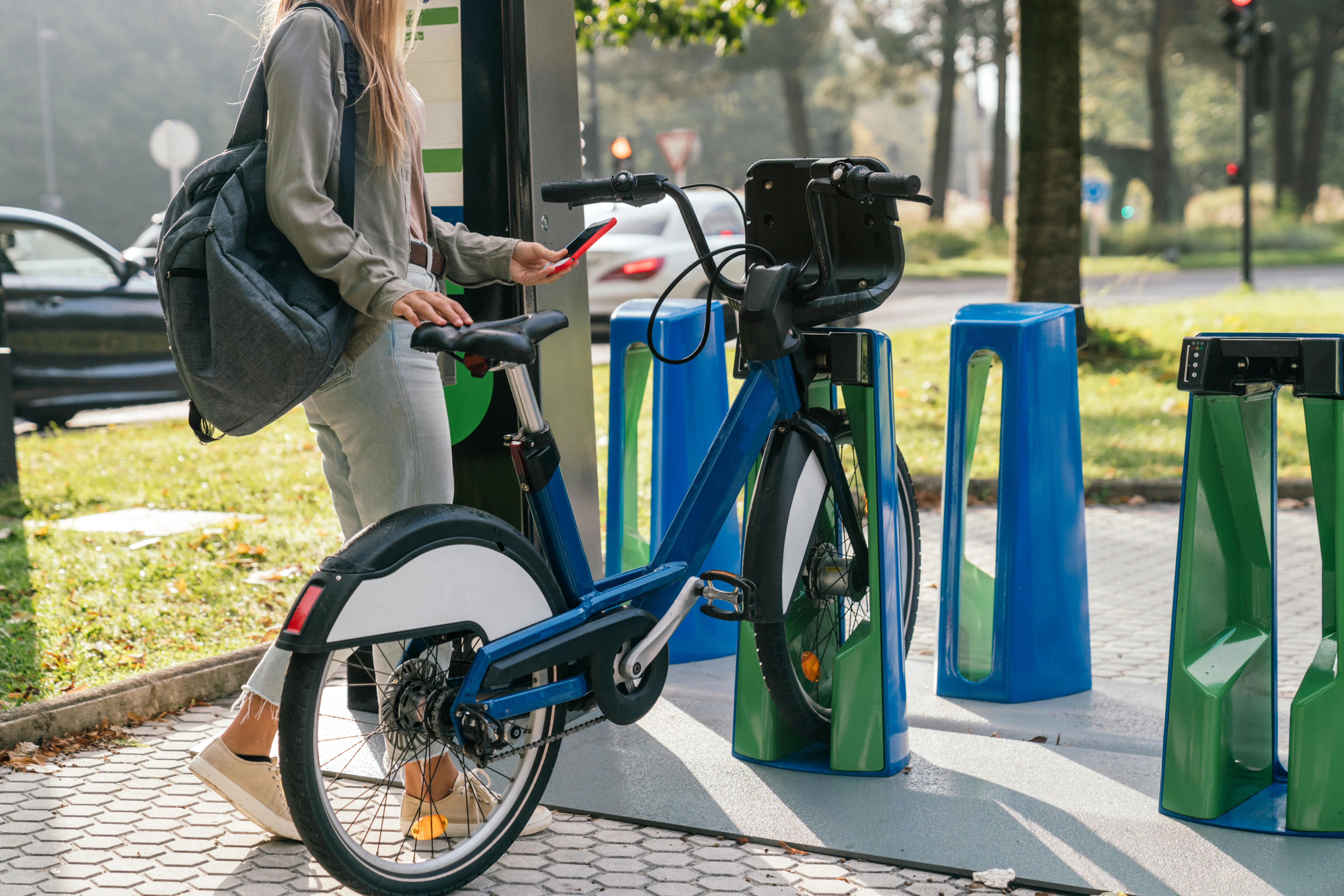
To bridge theory and practice, students were given demo accounts and worked in small teams on a real-world use case: visualizing transport data from the city of Helsinki, known globally for its open data initiatives.
Using Mapify, they learned to:
- Create and configure live Data Feeds from external APIs
- Build and automate workflows using a no-code drag-and-drop interface
- Style dynamic map Layers that respond to real-time data changes
- Launch interactive web apps with live data visualization. All without writing a single line of code
This hands-on experience allowed students to design working geospatial applications in just a few hours mirroring the real development process used in smart city and IoT projects.
Pushing Real-time Location Intelligence Further
What makes Mapify so effective in an educational setting is its accessibility. Students don’t need a background in GIS or software development. Everything they need to go from live data to a fully functional web application is available in one place with no setup and no code required.
The session quickly transitioned from introduction to a hands-on exercise. For this project, students worked with open real-time datasets from Helsinki. They used Digitransit’s live API, which streams continuous updates on city buses.

After reviewing key data fields such as vehicle position with coordinates, direction, delay, door status, and temperature, participants began configuring their Data Feeds, setting up Workflows, and building map Layers inside Mapify. To connect to the live stream, students used a simple MQTT subscription.
Guided by Mário Sobral, they worked independently through each step, transforming live data into a fully interactive map that showed buses moving in real time. By the end of the workshop, each participant had built a real-time geospatial app and discovered firsthand how organizations use location intelligence to make smarter, faster decisions.
This session with JUNITEC is just the beginning. As we continue to expand Mapify for Education, our goal is to make real-time geospatial training available to more institutions, more students, and more future leaders. We're actively building new partnerships with universities, educators, and research labs to integrate Mapify into academic programs, whether through workshops, coursework support, or innovation challenges.
If you're an educator, student group, or program lead interested in partnering with Mapify to deliver real-time geospatial experiences, reach out to us.