Processing real-time geospatial and IoT data in Smart Cities can be easy
May 12, 2022
Ana Guerra

Geospatial World Forum in Amsterdam was our first big event this year as Mapify. Our co-founder, Sandro Batista, had the opportunity to present Mapify, explaining how it can improve citizen life through analysis of real-time geospatial and IoT data.

Advances in technology enable us to feel the city every second, understanding what is happening and where. With this type of information, we can infer behaviour and act preventively, improving the lives of all citizens.
But, how can we accomplish this?
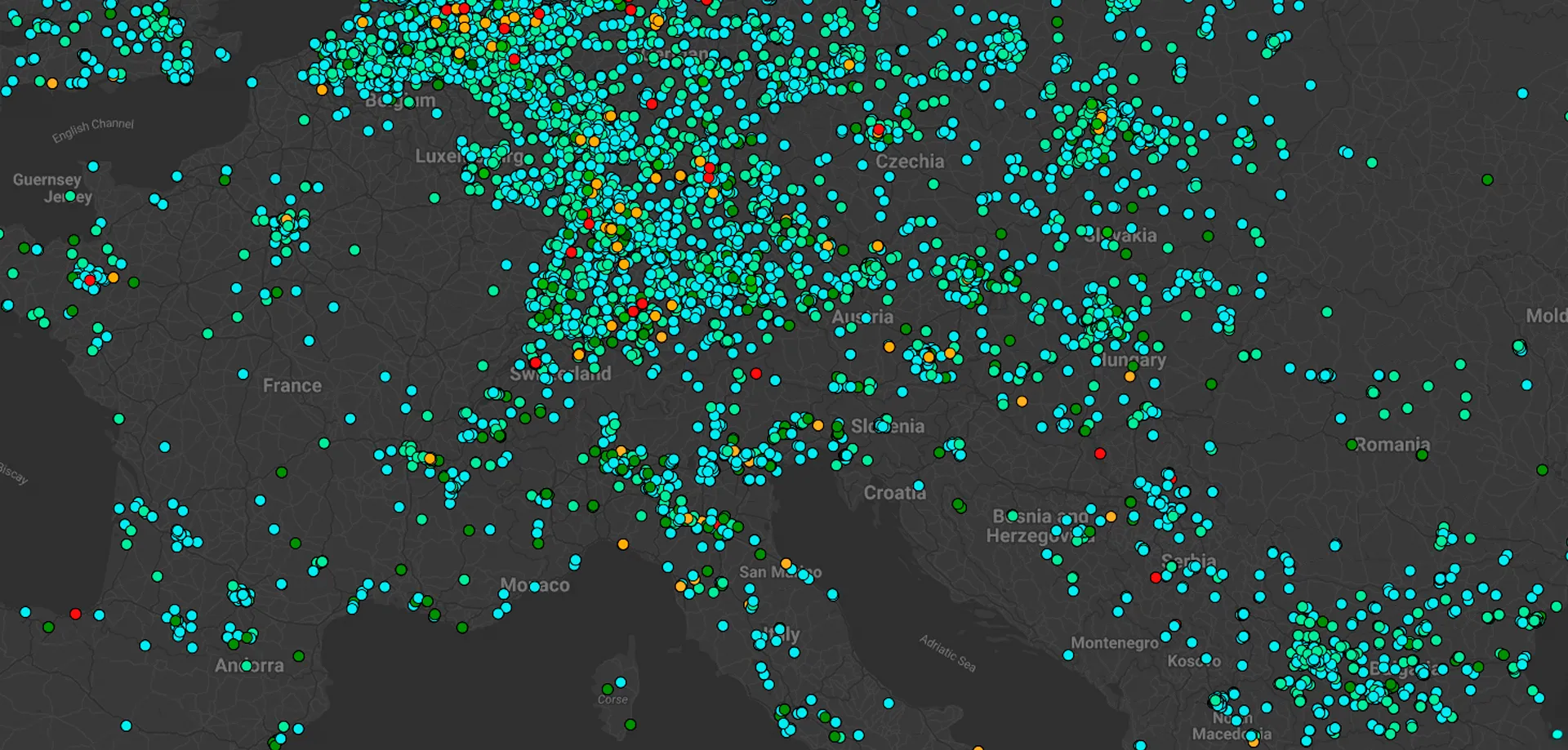
The answer is hardware sensors. And we humans who are always connected. Sensors are becoming cheaper and cheaper since there are more providers and more types of components. Sensors work similarly to a cookie that you can glue to the street.
With huge amounts of data, new challenges come up such as, how do we process this data in a fast, easy way?

This is why we created Mapify.
We fill the gap between Google Maps and complex Geographic Information Systems with a simple, low-code SaaS platform.


Location Intelligence helps cities and businesses to optimize performance. We want to democratize location intelligence without needing a huge GIS specialist team, as well as complicated and expensive software.
If you didn’t get your chance to be charmed by Sandro’s presentation at GWF, you can book a meeting with him to talk about Mapify. Alternatively, you can get straight into creating your maps by signing up for our free trial.
.jpg)
.webp)